
Google Maps Platform just dropped three new AI-powered imaging features at Cloud Next, and one of them lets you generate synthetic photos anchored to real Street View locations.
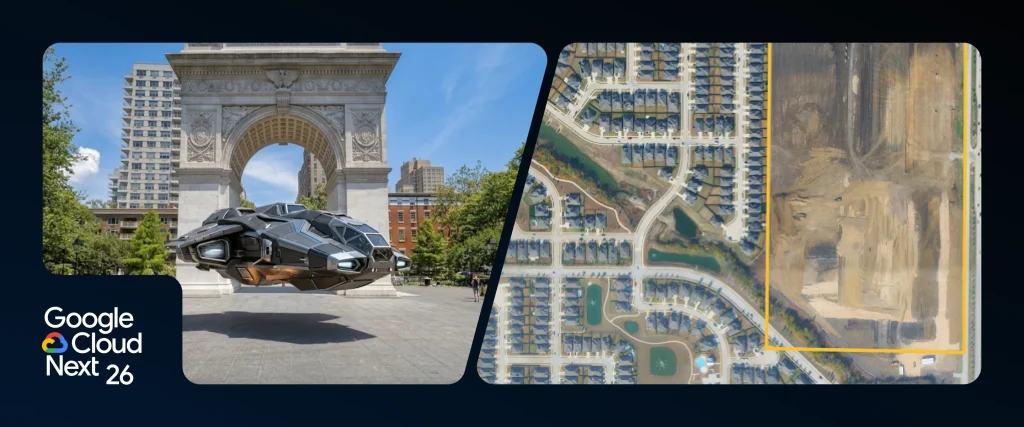
Maps Imagery Grounding lets you type a text prompt — say, "a futuristic spaceship hovering in front of the Washington Square Arch" — and the system, running on the Gemini Enterprise Agent Platform, spits out a composite image based on the actual location in seconds. You can even use Veo to turn that static image into a video. The feature is currently available in the US as a Private Preview, and ad giant WPP is already testing it.
Aerial and Satellite Insights is a new dataset from Google Earth AI that plugs into BigQuery. It automatically analyzes aerial and satellite imagery, cutting what used to take weeks of manual review down to minutes. Use cases include monitoring urban construction sites and helping with infrastructure planning.
Google also released two Earth AI Imagery models on Cloud Model Garden, currently in Experimental status. These models come pre-trained to recognize bridges, roads, power lines, and other features — so you don't have to train from scratch. Spatial intelligence company Vantor is already using them in its Sentry app to turn raw post-disaster satellite images into reports identifying damaged infrastructure.